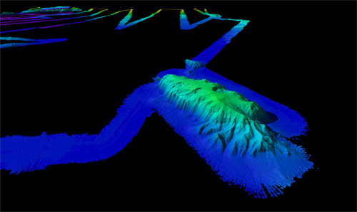
Slide show
View a slide show of images associated with the Extended Continental Shelf Project. Click on the left and right arrow to scroll through the pictures one by one, or select the play button for an automatic slide show. This page is best viewed in Netscape 7.1+ or Internet Explorer 5+.
Number of Pictures: 1 of 15
Oblique view of the bathymetry of a large massif on western side of survey. The massif is 40-km long, 16-km wide and stands ~1200 m higher than the 3250-m surrounding seafloor. The massif shows signs of large-scale landslides on its upper surface. The image has vertical exaggeration of 3x looking south. Water depth range in image -1930m to -3300m. Image Credit: UNH/NOAA
Download high-resolution image (jpg, 639 kb)
Related Links