

Slideshow
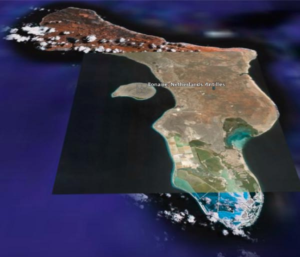
View the slideshow of the Bonaire 2008: Exploring Coral Reef Sustainability with New Technologies Exploration maps and AUV images. Bonaire is an offshore seamount isolated from the other nearby islands and the nearby coast of Venezuela by very deep water. Click on the left and right arrow to scroll through the pictures one by one, or select the play button for an automatic slideshow. This page is best viewed in Netscape 7.1+ or Internet Explorer 5+.
Number of Pictures: of
![]()
![]()
![]()
Related Links
Bonaire 2008: Exploring Coral Reef Sustainability with New Technologies